Costa da Morte is the westernmost region of the Iberian Peninsula and is therefore where the European continent comes to an end. Inside the region are historical districts such as Bergantiños, Terra de Soneira and Fisterra (previously called Nemancos). The names that defined these ancient regions were to a great extent eclipsed by the tremendous impact in recent years of the new place name.
The easternmost limits of this large coastal region extend through the highlands that make up the plateaus of Ordes, to the north, and the Xallas, to the south. They are flattened Tertiary plains situated on the right hand side of the river Tambre. These higher areas gradually descend like steps towards the sea.
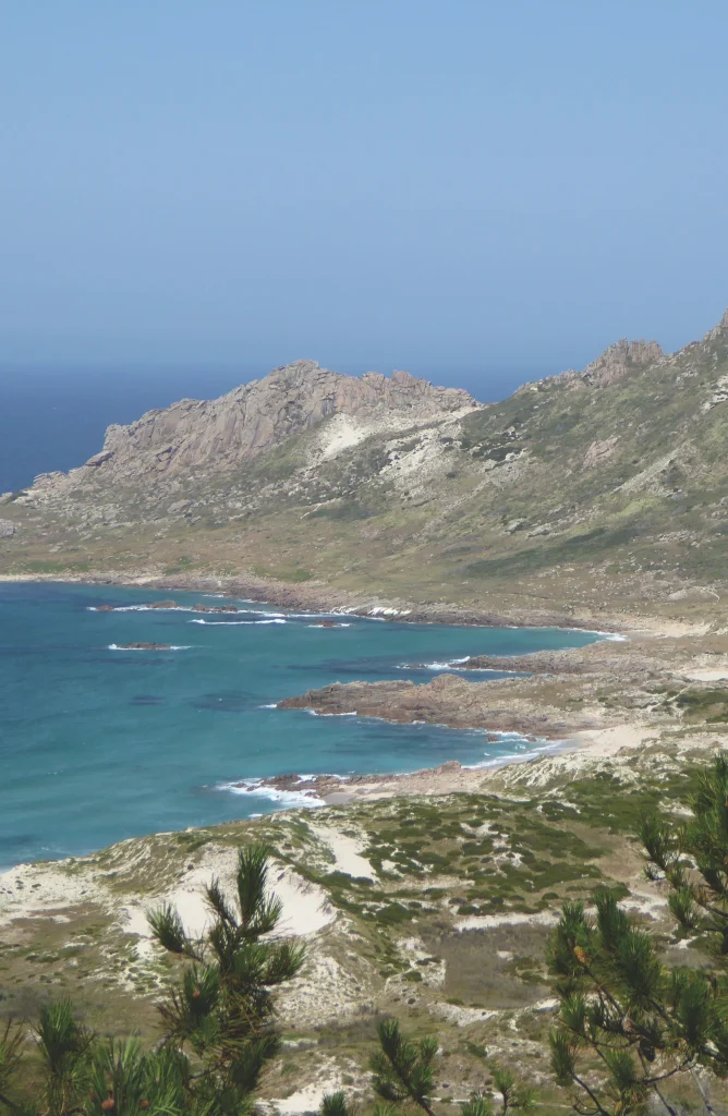
The higher areas in the north eastern part of the region border Terra de Ordes, and represent the dividing line between the basins of the rivers Tambre and Anllóns. They also separate the region, which forms part of the extensive plateau that extends through the centre of Galicia, from Bergantiños, more to the west.