The municipalities of Mazaricos and Carnota joined the region of Costa da Morte because of their proximity to the region of Fisterra, although the first belongs to the region of Xallas, together with Santa Comba, and the second forms part of Muros. Although Mazaricos stands close to the coast, the area is isolated from the sea by the mountainous barrier formed by Monte Pindo. The land in the municipality forms part of the plateau of Xallas. The wildest areas are situated to the north and east and the highest parts are in the centre, surrounding Monte Aro. To the west, in the area of Montes da Ruña (641 m), are the highest points of the municipality and the slopes of Monte Pindo.
The valleys of Mazaricos, Beba and Arcos are located between the hills, crossed by rivers with the same names that are tributaries of the river Xallas, which flows along the western part of the municipality where its waters are halted at several dams, the largest of which is A Fervenza, built in 1965.
The area to the east of the municipality is irrigated by the river Maroñas, also a tributary of the Xallas and the river Santa Baia, which flows into the ría of Noia.
The Atlantic climate of this municipality, which favours the production of pasture and fodder crops, brought about a thriving economic activity in livestock, especially for milk production.
The municipal capital is A Picota, a centre for services provided to the twelve parishes that make up the area.
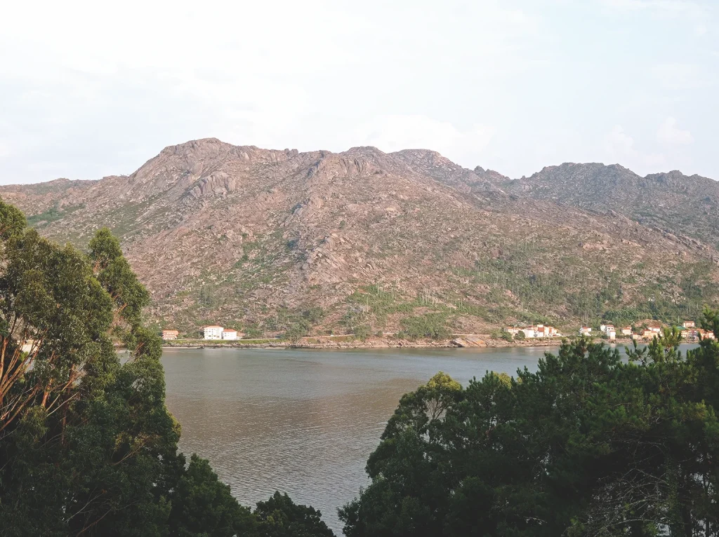
The municipality of Carnota consists of a long stretch of coast that extends from the mouth of the river Xallas in the north to the beach of Lariño in the south. The dividing line with the inland areas starts with the legendary Monte Pindo, which stands at over 600 m high and continues to the south through a mountainous zone that borders the plateau of Xallas in the south west and abruptly drops to the coastal heights. There are zones where this range of hills comes close to the sea like the Pindo or the parishes of Lira and Lariño, where the coast is rocky. However, when the coastal plateau becomes wider, in the parishes of San Mamede and Carnota, it gives rise to good farming land, especially for corn, which explains the two long hórreos (Galician granaries) of Carnota and Lira. Extensive sandy areas were formed when when they came into contact with the sea, such as the beach of Carnota.