The climatic conditions of Costa da Morte are very similar to those in the rest of the Galician coast, with an Atlantic climate. However, its location further to the west blends the characteristics common to the neighbouring northern and southern areas, which are more protected from the oceanic winds and winter storms.
Within the coastal area itself there are some variations between the coast and the interior, and between the north and the south. The large area within the region called Costa da Morte is included within the climatic classifications called humid oceanic and hyper-humid oceanic, which are characterised by mild temperatures with few variations and abundant rainfall. The rainfall in the hyper-humid areas, which include regions further south, is even more frequent.
The average monthly temperatures during winter do not fall below 6ºC and in summer rarely go above 20ºC. The coldest months of the year are January and February, with average temperatures between 7ºC and 10ºC, which steadily drop the further away you are from the coast.
The areas close to the sea rarely experience frost, but it does appear in areas further away from the ocean and in zones of high altitude. In these areas prolonged frosts take place from November to March or April, as is the case in the plateau of Xallas and areas of high altitude in Bergantiños and Soneira.
Summers are pleasant because the average temperature stays at about 20ºC inland and does not drop below 18ºC in coastal areas. August is the warmest month of the year. The oceanic influence, which enters the territory via the valleys of the catchment network, ensures that temperature variations are low and hardly ever more than 10ºC between the lowest and highest averages. Temperature variations do tend to increase inland. There is also a slight temperature increase from north to south, especially from Fisterra southwards.
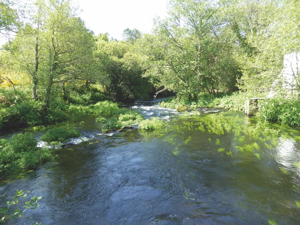
Rainfall is abundant, although snow is very infrequent in the area. The amount of rainfall throughout the region does not go below 1,000 mm a year. Half of the weather stations in the area record precipitations of over 1,500 mm, while in some parts of the region it reaches 2,000 mm.
These precipitations generally increase from the ocean to the interior, given that the humid fronts from the sea release part of their moisture when they reach the first high areas. Some areas in the region of Xallas see precipitations of over 1,800 mm, as do some parts of the interior of Vimianzo. However, rain is less abundant in the northern area of Costa da Morte. The rainiest period is from November to March, although a lot of rain can also fall in the spring. All the precipitations fall moderately or gently throughout the year.
The most unstable and changeable weather takes place in spring and autumn, caused by the displacement of the Azores High to the north in spring and in the opposite direction in autumn. The displacement of the high allows frontal systems to enter from the west or south west, which leads to increased rainfall, intensifying in the last months of autumn and winter, when the anticyclone is at its southernmost position.
The weather is more stable in the summer as the Azores High is then at its northernmost point and impedes the entry of depressions, causing warm, dry weather, although the high temperatures of Costa da Morte are accompanied by the cool Nordés (north-easters) winds, which blow between the Sisargas Islands and Fisterra and counteract the heat. Wet, cloudy days are not uncommon in the region during summer, especially when the anticyclone moves away towards the west and allows atmospheric disturbances to enter from the north Atlantic, causing rain and drops in temperature, especially on the coast.
Recent years have seen a change in the weather conditions of this region, with lower rainfall concentrated into fewer days but with greater intensity. Summer has also extended to the point where it ends in early October and winters are now shorter, dryer and less harsh as a result of climate change.