At Cee you’ll start the coastal route to Muros on a road with some excellent landscapes along the way. The first stop is the village of O Ézaro to see the waterfall formed by the mouth of the river Xallas. To get there, take the road to the left before crossing the bridge.
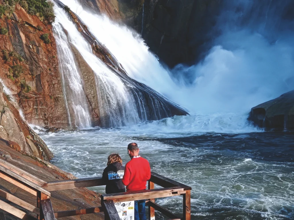
Waterfall of O Ézaro
After crossing the highlands of the same name, the river Xallas heads from north-west to south-east and flows in to the bay of O Ézaro, where it forms a spectacular waterfall. It’s not always possible to enjoy this wonderful natural spectacle in all its glory because most of the water passes through pipes to generate electricity. However, the hatches are sometimes opened in winter to release excess water from the dams, and then the show is absolutely fantastic. It’s the only river in Europe that ends with such an extraordinary waterfall.
The erosive power of the river was such that the flow dropped from such a great height ended up excavating a 16 metre deep natural well
in the rock.
The waterfall and the well, called the Coadoiro, was mentioned by father Sarmiento in 1745 when he crossed the river on the ferry of Os Cregos, which linked Santa Uxía and Santiago de Arcos. A Barca de Abaixo (the lower ferry) was located where the O Ézaro bridge is now, and was used to cross the river, as the bridge wasn’t built until 1951. There was a serious accident here in 1902 when the ferry that took people across the river capsized and killed 23 persons on board.
If you walk up from the car park where the waterfall is, you’ll be richly rewarded: there’s a viewing point of the reservoir with some fantastic view of the entire mouth of the Xallas.
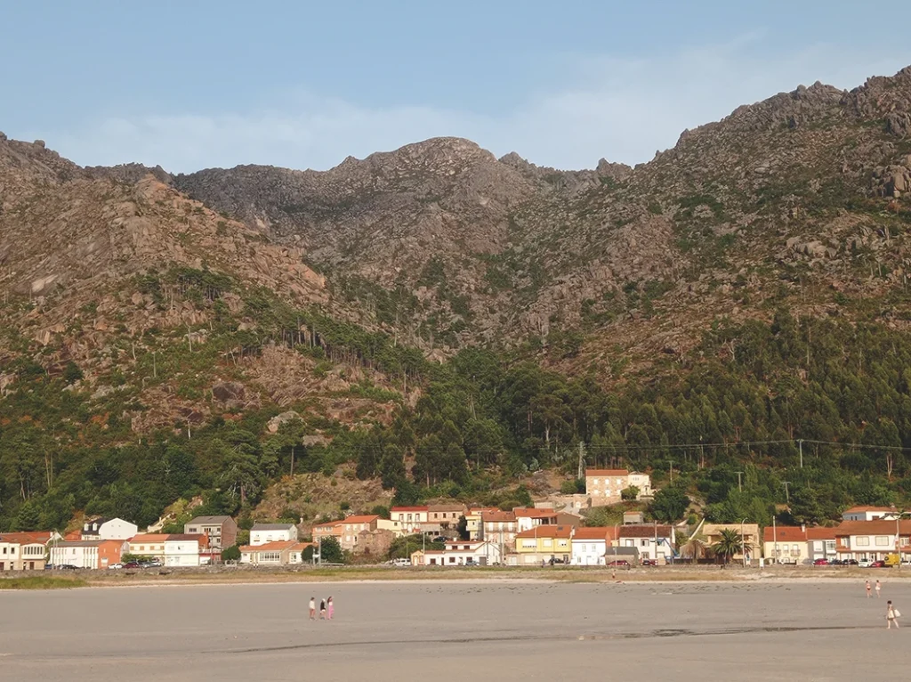
Now it’s time to continue with the trip and head southwards. Cross O Ézaro bridge and pass through the village of O Pindo, a small but charming fishing port, situated at the northern edge of the municipality of Carnota. Until recently the village had no parish, and so the inhabitants belonged to the parish of San Mamede, which is about ten kilometres away.
There was a chapel dedicated to Saint Peter in O Pindo but it no longer exists, although the name remains in the beach to the west of the village. Another hermitage was founded by a private individual in the 18th c., which is now the parish church and is dedicated to San Clemente (Saint Clement).
The track to go up Monte Pindo starts in this village, right next to the church. The round trip for the mountain takes about five hours, so you’ll need to come here another day if you want to carry on with today’s route.
The route up Monte Pindo
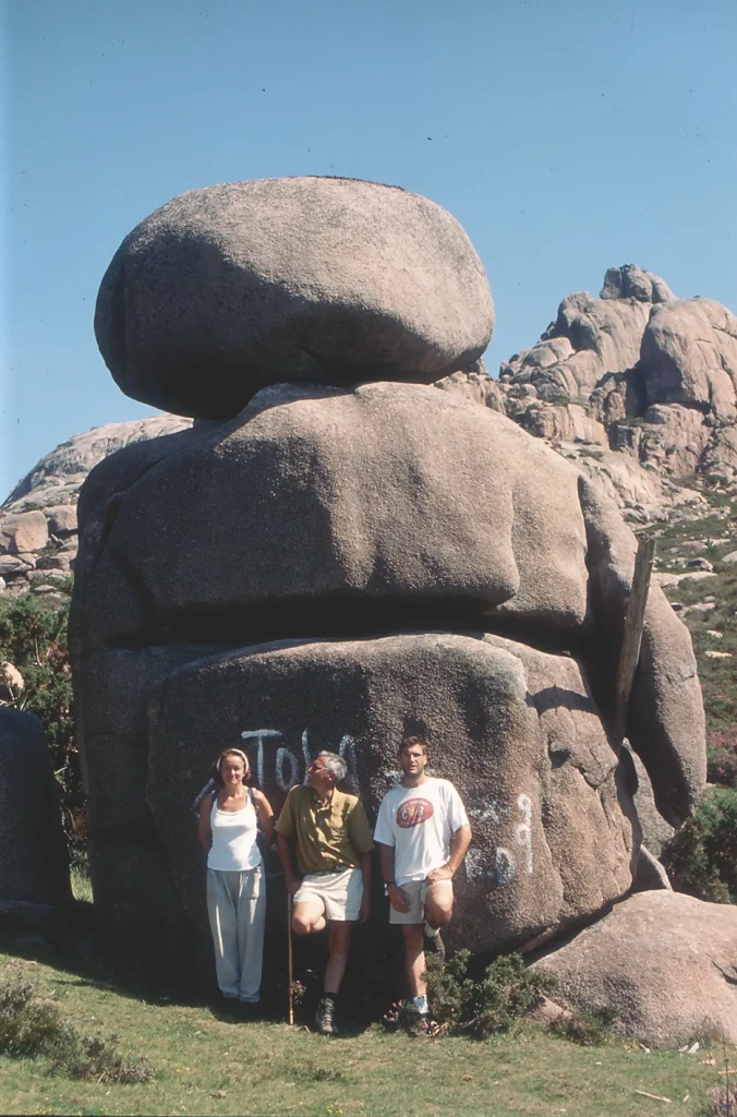
Monte Pindo is one of the most magical places of the many to be found in Galicia. This huge granite peak very close to the coast rises up to 627 m. Its close proximity to the sea, strange rock formations and sharply sloping and deep valleys have made it an intriguing place of many legends. It is also called the Celtic Olympus, because tradition says that the stones here were carved by this legendary people.
The legends about Monte Pindo must have been many and varied, since father Sarmiento was inspired enough to write the following in his journey to Galicia in 1745:
“They say a thousand things about the mountain: that the grass grows abundantly from dusk to dawn, that there are an infinite number of medicinal herbs and many that are unknown, and that some physicians go there to find them; that the animals there are very fertile, and I heard that in times past sterile and infertile couples would go to Monte Pindo to have children, in much the same way as they used to say of the hermitage of San Guillerme in Fisterra”.
There are several tracks to go up the mountain, but the best known and most widely used one starts in the village of O Pindo. The whole route is marked out in yellow and white to indicate a short route.
The track starts from a narrow lane lined with walls, with dense vegetations that includes pines, bay trees and the occasional holly bush. The lane follows the course of a small stream where there are some abandoned mills. As you go up, the vegetation grows more sparse and the lane turns into a track; here is where you’ll start to see the first rocks contorted into surreal shapes. After a kilometre and a half’s walk, you’ll see the Alto do Pedrullo (265 m) to your right. On the east side of this outcrop there are some piles of stones that were once the castle of San Xurxo. The route now starts to twist to the left through a relatively flat area. On the right hand side there is the hill of Onde se Adora, which may have been linked to an ancient pagan cult, then you come to O Chan das Lamas, a flat area where a road connected the village of O Pindo to the parish of San Mamede.
The route then continues along the low part of the valley of a small stream and becomes progressively steeper. O Outeiro do Narís is to the right. Its name comes from the fact that one of its rocks looks like a nose. You then come to a flat open area at about 500 m; this is the valley of San Lourenzo. There was a small wolfram mine here in World War II. On the left-hand side of the track there is an impressive looking rock shaped like a giant, called O Guerreiro (The Warrior).
From here the trail continues to zig-zag upwards through a wooded area between crags. The last remaining challenge is the summit of A Moa via the south east to access the top from the north.
As the name indicates, the summit of O Pindo is shaped like a giant granite millstone or platform in which potholes (“pías”) abound.
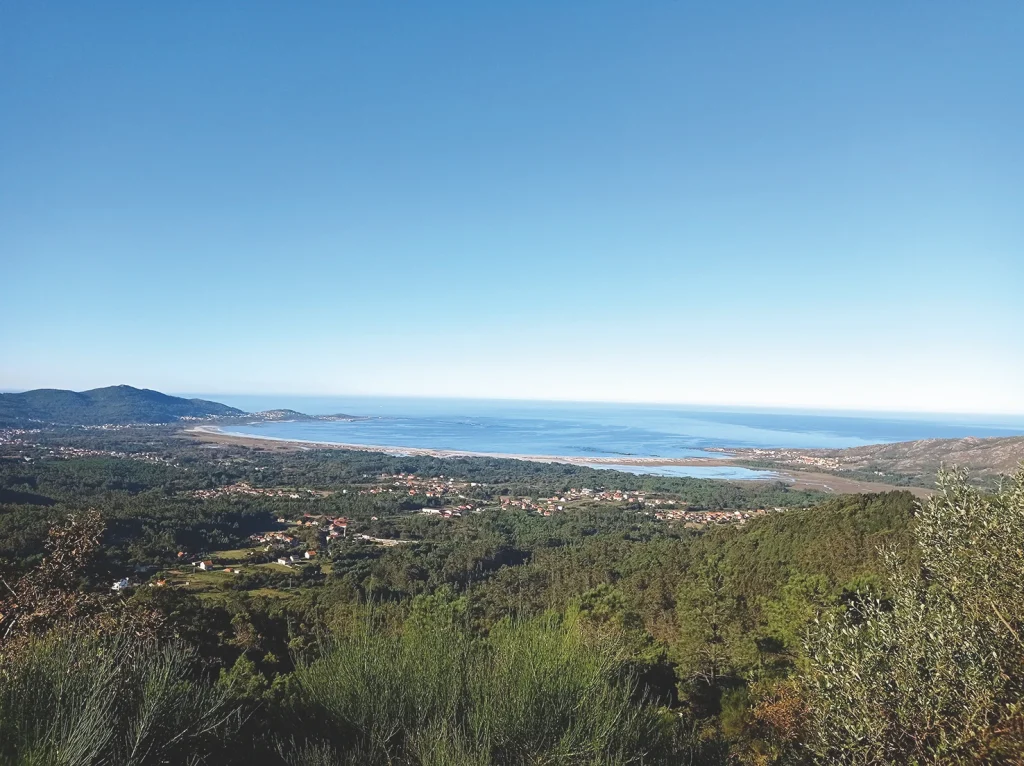
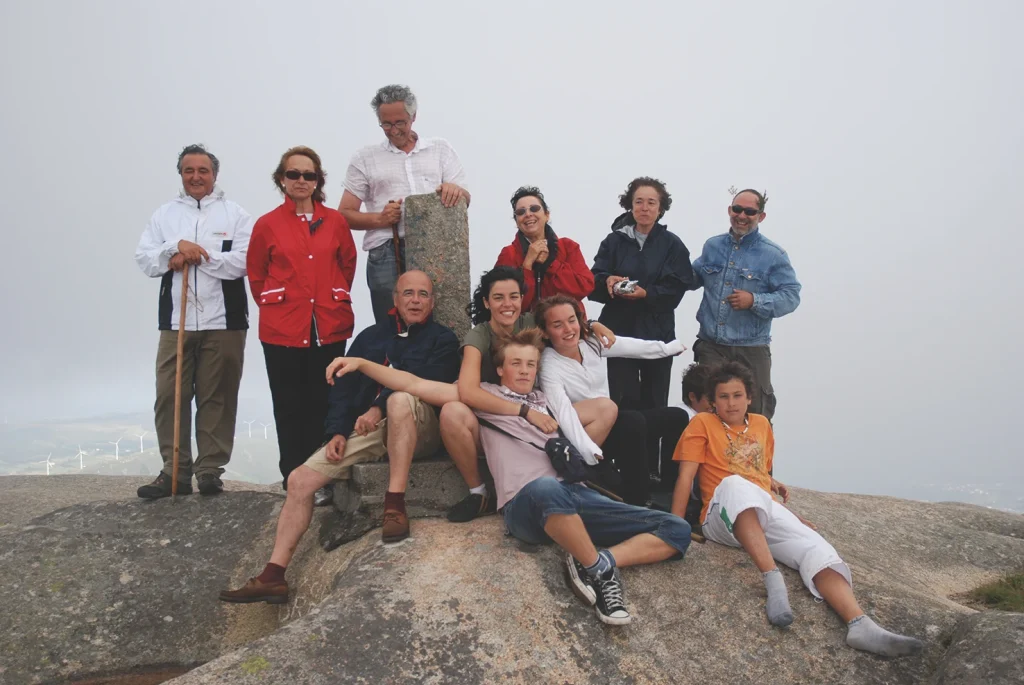
A Moa offers some amazing views over the coastal area. You can see the reservoir of Santa Uxía, that parish of Arcos and the hills of A Ruña to the north; the valley and the long beach of Carnota to the south; and cape Fisterra is just visible to the west, along with the ría of Corcubión, the Lobeiras islands and the immensity of the sea. At the foot of the mountain lie the villages of O Pindo and O Ézaro, and the mouth of the river Xallas.